
Where Can I Use SNAP EBT?
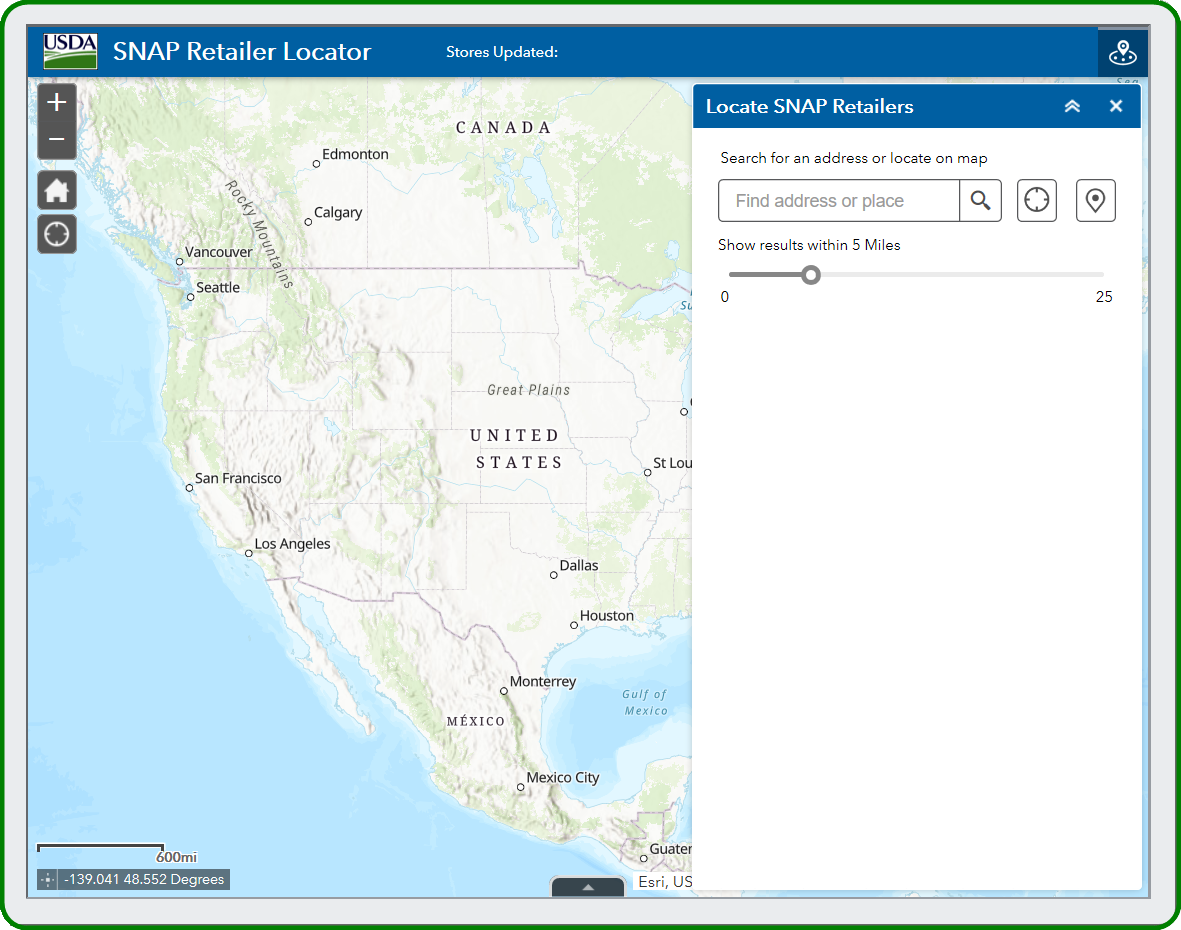
The SNAP Retailer Locator allows anyone to locate nearby SNAP-authorized retailers by entering a street address, city and state or zip code. Enter your starting location and select a retailer or map point to get details and directions.
Although the tool is designed to help SNAP recipients, it is also helpful for other government entities, community organizations and others aiding SNAP recipients. The latest updates were made in October 2023.
SNAP Retailer Locator Data
SNAP Retailer Locator data, including latitude and longitude coordinates, is available for download, in a comma-separated values (CSV) file which can be opened by most desktop spreadsheet applications (e.g., MS Excel).
Additional SNAP Retailer Locator data download options are available in the SNAP Retailer Locator Data Resources.
Historical data on authorized SNAP retailers is available as of Dec. 31, 2025. The zipped CSV file includes retailer name, type, address, location, and authorization dates for retailers that were authorized to accept SNAP benefits at any point in the past 20 calendar years.
To report a specific mapping or address error, contact RPMDHQ-Web@usda.gov